

news +insights
Tropical Storm Isaias Forms in Gulf; Hurricane Forecast for Northern Gulf Coast
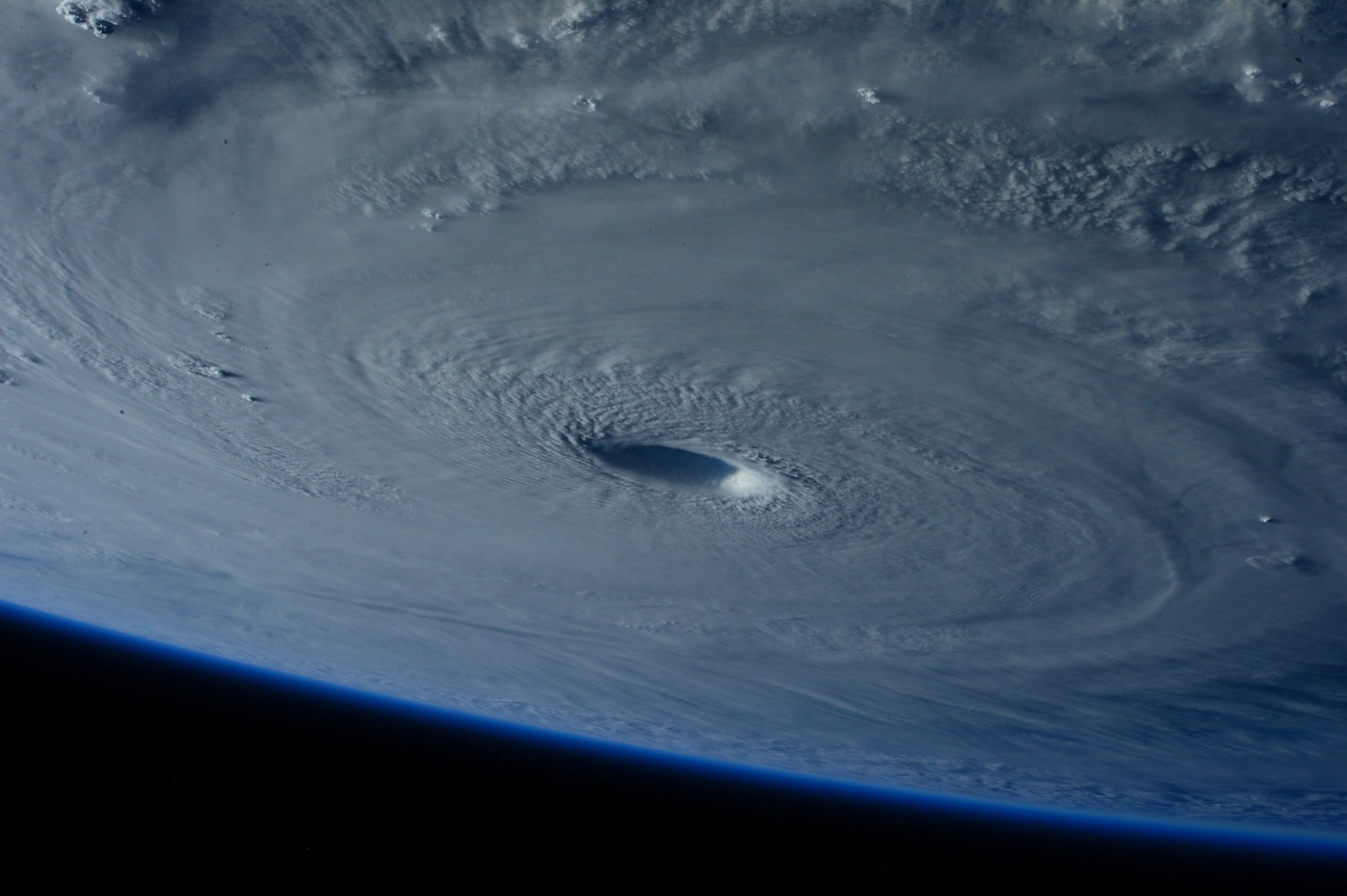
Tropical Storm Isaias formed in the southwestern Gulf early Wednesday, October 7, 2026, and the National Hurricane Center forecasts it to strengthen rapidly into a hurricane by Thursday and approach the northern Gulf Coast, somewhere from Louisiana to the Florida Panhandle, late Friday into early Saturday. No coastal watches or warnings are in effect yet, but forecasters say Hurricane and Storm Surge Watches will likely be required for part of that coast later today. This is a developing story.
What Happened
In its 4 a.m. CDT (5 a.m. EDT) advisory, the hurricane center upgraded the depression in the southwestern Gulf to Tropical Storm Isaias, the ninth tropical cyclone of the 2026 Atlantic season (National Hurricane Center). At that time the center was located near 22.0 North, 94.1 West, about 285 miles west of Progreso, Mexico, and about 580 miles southwest of the mouth of the Mississippi River. Maximum sustained winds were near 40 mph, the minimum central pressure was 1004 millibars, and the storm was moving east-northeast at about 8 mph. Tropical-storm-force winds extended up to 45 miles from the center (National Hurricane Center).
Forecasters based the upgrade on a burst of deep thunderstorm activity near the center and a buoy north of the center that reported sustained winds of 35 knots. Air Force Reserve and NOAA Hurricane Hunter aircraft are scheduled to sample the storm later today, which should give a better read on its structure and strength (National Hurricane Center forecast discussion).
What Is Confirmed
The following points come directly from the 4 a.m. CDT advisory and forecast discussion:
- Track: Isaias is expected to keep moving east-northeast today, turn northeast and then north on Thursday and Friday, pass north of the Yucatan Peninsula on Thursday, and approach the U.S. northern Gulf Coast on Friday, roughly 60 to 72 hours from the advisory time (National Hurricane Center forecast discussion).
- Intensity: Rapid strengthening is forecast over the next day or two. The official forecast makes Isaias a hurricane with 75 mph winds by early Thursday and brings it to a peak of 110 mph over the central Gulf early Friday. Sea-surface temperatures of 30 to 31 degrees Celsius and ample moisture support that strengthening (National Hurricane Center forecast discussion).
- Near the coast: Wind shear is expected to increase sharply in the final 24 hours before the storm reaches land, but forecasters wrote that it is "looking more likely that Isaias will be a significant hurricane when it reaches the coast." The forecast shows 105 mph winds at midday Friday while the center is still offshore, and 85 mph winds with the center inland near 30.8 North, 87.7 West by 1 a.m. CDT Saturday (National Hurricane Center forecast discussion).
- Rainfall: From Friday through the weekend, 3 to 6 inches of rain, with localized totals up to 10 inches, are expected from far southeastern Louisiana to the Florida Panhandle. Totals of 1 to 3 inches, locally up to 5 inches, are possible across much of the Southeast as far north as the Tennessee Valley and the Carolinas. Flash, urban and isolated river flooding are possible (National Hurricane Center).
- Surf: Swells will spread north toward the Gulf Coast late this week and are likely to cause life-threatening surf and rip current conditions (National Hurricane Center).
- Watches: None are in effect. The hurricane center said Hurricane and Storm Surge Watches will likely be required for a portion of the northern Gulf Coast later today, and that residents from Louisiana to the Florida Panhandle should make sure their hurricane plan is in place (National Hurricane Center forecast discussion).
What Is Not Yet Known
The landfall location and timing are not settled. The hurricane center describes its track confidence as below average and notes a wide spread in the model guidance, both in where the storm goes and how fast it gets there. The latest official track was shifted east of the previous one, and the forecasters said they continue to favor the more eastern solutions, though not the easternmost ones (National Hurricane Center forecast discussion). A further shift in either direction would change which stretch of coast sees the strongest wind and surge.
No storm surge heights, wind arrival times or county-level impacts have been issued for the United States yet. Those details normally come with the first watches. The advisory does not mention the Tampa Bay area or the Florida peninsula by name, and nothing in it describes a direct threat there at this point. The forecast discussion does say that the wind field is likely to expand near landfall and that rain and wind impacts will likely extend far from the center on the eastern side of the storm, so areas east of the eventual track should not focus only on the center line (National Hurricane Center forecast discussion).
What It Means for Owners and Contractors
The practical issue is time. If the forecast holds, tropical-storm-force winds could reach parts of the northern Gulf Coast on Friday, which leaves Wednesday and Thursday as the working days for preparation on sites between southeastern Louisiana and the Florida Panhandle. Project teams in that zone generally use this window to carry out the steps in their hurricane plans:
- Review the project's written storm plan and confirm who has authority to shut the site down and when.
- Follow manufacturer and engineer requirements for tower cranes, mobile cranes, hoists and scaffolding, and schedule that work early because crews and equipment will be in demand.
- Secure or remove loose materials, formwork, portable toilets, dumpsters, fencing screens and anything else that can become windborne.
- Protect open excavations, check dewatering and erosion controls, and clear storm drains ahead of rainfall that could reach 10 inches in spots.
- Close in or protect building openings and partially installed roofing, and move moisture-sensitive materials and equipment above grade.
- Photograph and document site conditions before the storm for schedule and insurance records.
- Review contract notice requirements for weather delays and force majeure, and send required notices on time.
- Confirm employee contact lists and do not ask crews to work or travel in unsafe conditions.
Owners with operating facilities along the central and eastern Gulf Coast should check generator fuel, roof drains and backup plans for power and communications. Projects elsewhere in Florida and the Southeast should plan for heavy rain over the weekend and for possible delays in deliveries that move through Gulf Coast ports and the Interstate 10 corridor if the storm follows the forecast track.
What to Watch
- The next full advisory at 10 a.m. CDT (11 a.m. EDT) Wednesday, and any Hurricane or Storm Surge Watches issued today (National Hurricane Center).
- Data from the Hurricane Hunter flights, which could change the intensity and track forecasts.
- Whether the forecast track continues to shift east toward the Florida Panhandle or moves back to the west.
- Local evacuation orders and emergency declarations, which drive site shutdown decisions and travel for crews.
Forecasts for a newly formed storm can change quickly. Use the latest products from the National Hurricane Center and the local National Weather Service office for decisions, not this summary.
Image credit: NASA via Unsplash. Stock photo of a hurricane seen from space, not an image of Tropical Storm Isaias.
Sources
- National Hurricane Center, Tropical Storm Isaias Public Advisory Number 3: https://www.nhc.noaa.gov/text/MIATCPAT4.shtml
- National Hurricane Center, Tropical Storm Isaias Forecast Discussion Number 3: https://www.nhc.noaa.gov/text/MIATCDAT4.shtml





Let's connect
For organizations planning commercial, industrial, or infrastructure work, we will review the project and recommend the appropriate delivery approach.

Join our team
If you hold yourself to careful, accountable work, you already work the way we do.